Maps
Plotly Python Open Source Graphing Library Maps
Plotly's Python graphing library makes interactive, publication-quality maps online.
Plotly Studio: Transform any dataset into an interactive data application in minutes with AI. Try Plotly Studio now.
-
MapLibre Migration
View Tutorial

-
Tile Choropleth Maps
View Tutorial

-
Lines on Tile Maps
View Tutorial
-
Filled Area on Tile Maps
View Tutorial

-
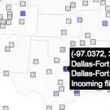
Bubble Maps
View Tutorial
-
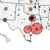
Density Heatmap
View Tutorial

-
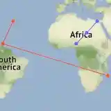
Lines on Maps
View Tutorial

-
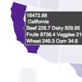
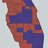
Choropleth Maps
View Tutorial
-
Tile Map Layers
View Tutorial
-
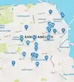
Scatter Plots on Tile Maps
View Tutorial
-
USA County Choropleth Maps
View Tutorial

-
Scatter Plots on Maps
View Tutorial
-
Map Configuration and Styling on Geo Maps
View Tutorial
-
Hexbin Mapbox
View Tutorial

-
Locations for Outline-based Maps
View Tutorial
Maps in Dash
Dash is the best way to build analytical apps in Python using Plotly figures. To run the app below, run pip install dash, click "Download" to get the code and run python app.py.
Get started with the official Dash docs and learn how to effortlessly style & deploy apps like this with Dash Enterprise.
